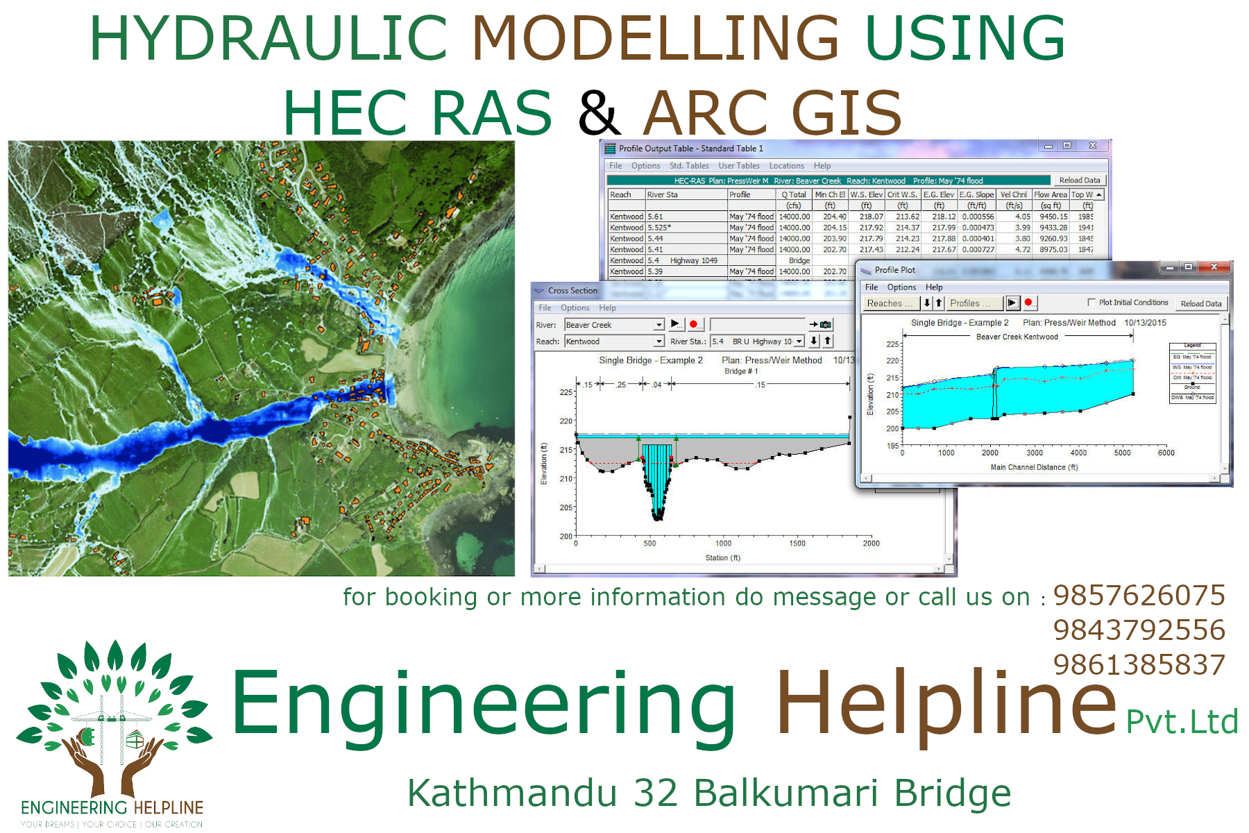
Hydraulic modeling using HEC RAS & Arc GIS
Course Description
- basic overview of course :
– Introduction
– Course Overview
– Relevance and scope of the Training
- Training/Practice
| Expected time | Description |
| Day-1 | Software Installation, Introduction, User’s Interface |
| Day-2 | Developing a Hydraulic Model |
| Day-3,4 | Geometry Data: Introduction, AutoCAD based and civil-3D based, GIS based data |
| Day-4 | Flow data: Hydrology: type of flow data, users criteria, boundary conditions, etc |
| Day-5 | Hydrological analysis, Run small program. |
| Day-6 | Practice on real field data (Exercise 1) |
| Day-7 | Geometry Edit:
|
| Day-8 | Exercise-2 |
| Day-9 | Geometry Edit: RAS MAPPER
Two dimensional flow areas, Geo-referencing an Hec-Ras model |
| Day-10 | Steady Flow Analysis |
| Day-11 | Unsteady Flow Analysis |
| Day-12 | Detailing of stage and flow hydrograph |
| Day-13 | Calibration of data, analysis |
| Day-14 | Model Accuracy: stability, sensitivity and Accuracy, OUTPUT |
| Day-15 | Sediment Transport Capacity (Basic)
Dam Break Analysis (Basic) |
NOTE: One or two days can be plus and minus based on student requirement and performance.